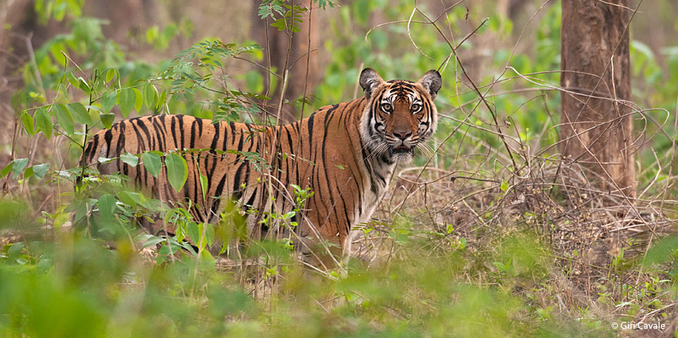
Nagarahole Tiger National Park
Nagarahole Tiger National Park
Nagarahole is named after Nagarahole (Cobra river in the local language, Kannada), a winding river which runs eastwards through its centre. Situated in the two districts of Mysore and Kodagu in the state of Karnataka. It was originally constituted into a sanctuary in the year 1955 covering an area of 258 sq. Kms and subsequently enlarged to include the adjoining areas of Mysore district and now extends over an area of 643.39 sq. kms which was given the status of a National Park in 1983.
The birth of Nagarahole National Park can be traced to the notification of 285 Sq. km. Game Reserve way back in 1955, which included the reserve forests of Arkeri, Hatgat and Nalkeri in Kodagu. Subsequently, in 1974, reserved forests from the adjoining Mysore district were added to the Nagarahole Game Reserve, which was upgraded to the status of a National Park covering 643 sq. km.
Nagarahole National Park is easily accessible by road, rail and air from Mysore which is the nearest city.
Road: Nagarahole is located at a distance of 70 kms from Mysore and 220 kms from Bangalore and 70 kms from Madikeri. Nagarahole is well connected by road and you could get here either by the State Transport buses, private buses, all stop at the Forest Reception office. It takes 2 hours from Mysore by a taxi.
Rail: The Mysore railway station located at a distance of 70 kms is the major railway station closest to Nagarahole.
Air: The closest airport – Mysore – 80 kms from Nagarahole. Bangalore-International airport is 260kms to Nagarahole.

